
45.9764 N · 7.6586 E
Tim Lui
Developer & photographer
Photographs and software from one mountain.
- View photo
1,617 m · Waypoint 1 of 4
Matterhorn from Zermatt
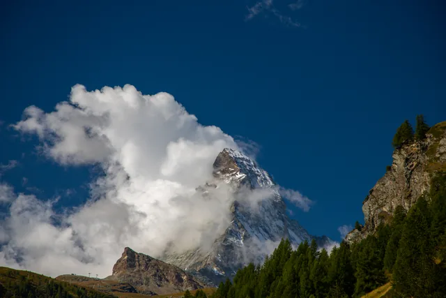
Zermatt, Switzerland · Sep 2021
- View photo
1,668 m · Waypoint 2 of 4
Waterfall in the Gornerschlucht

Gornerschlucht, Zermatt · Sep 2021
- View photo
2,585 m · Waypoint 3 of 4
Matterhorn from the Glacier Trail
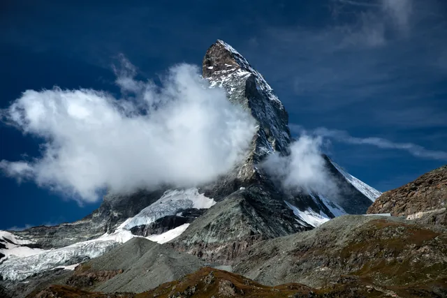
Matterhorn Glacier Trail, Zermatt · Sep 2021
- View photo
2,760 m approx. · Waypoint 4 of 4
Matterhorn in the Riffelsee
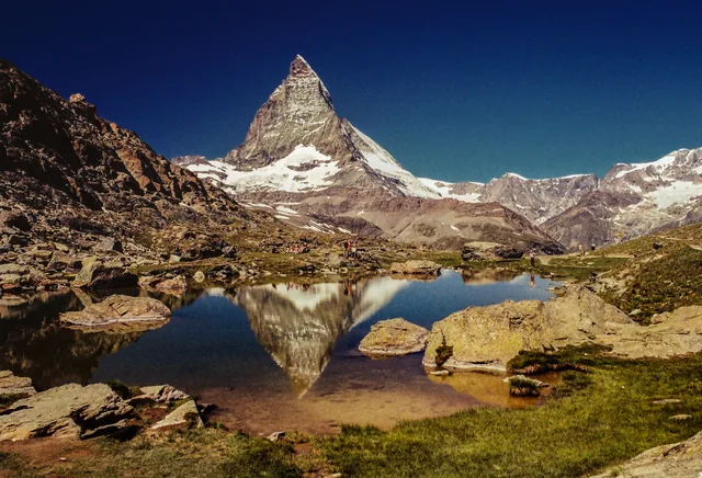
Riffelsee, Zermatt · 2019


About
I'm Tim Lui, a developer and photographer. I build software in Rust, TypeScript and Kotlin, including box, a command-line toolkit for PowerShell, and coin-flip, an Android app that tosses a fair 3D coin. I photograph the mountains around Zermatt, and this site puts each photograph back on the terrain where I took it.
To work together or ask about a photograph, use the contact page. To see what I'm building next, read the roadmap.